
Účet Kontakt
Váš košík
Doručenie cez DPD a FedEx
Pomoc? Opýtajte sa AI

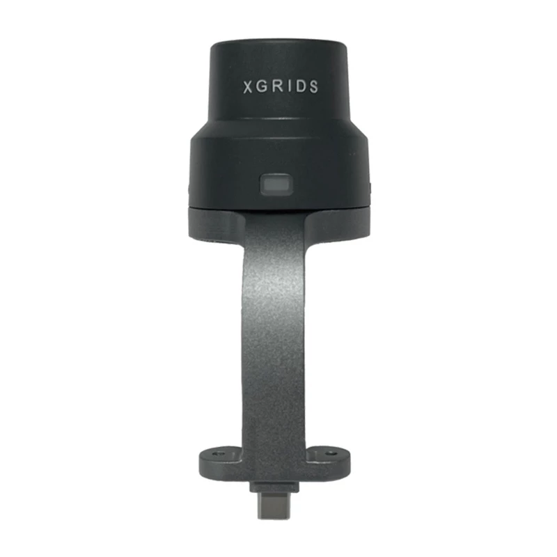
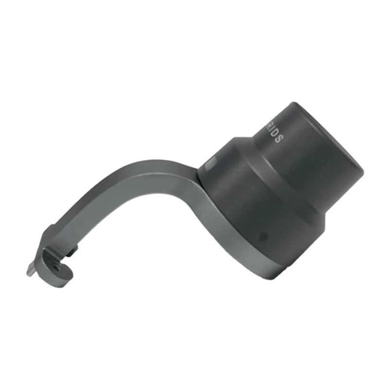
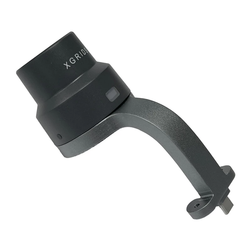
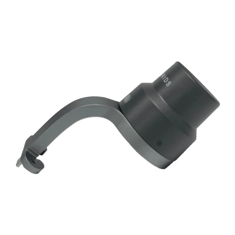
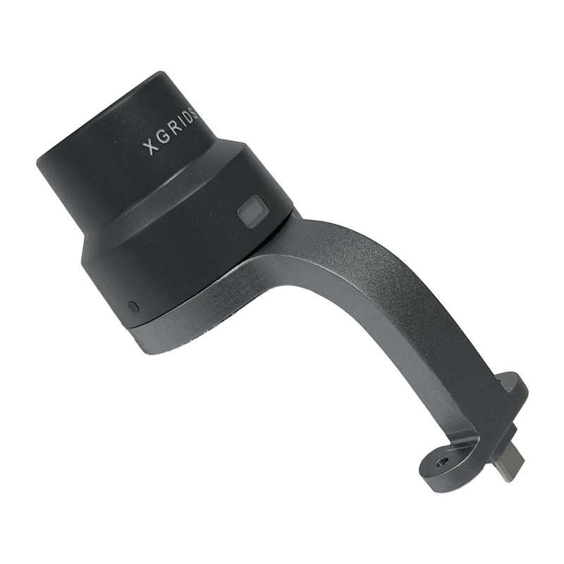
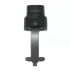
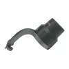
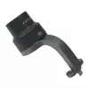
GNSS RTK modul XGRIDS LixelKity K1 dvojfrekvenčný vysokopresný

GNSS RTK modul XGRIDS LixelKity K1 dvojfrekvenčný vysokopresný
996,25 €
The LixelKity K1 RTK module by XGRIDS is a precision positioning device that employs Real-Time Kinematic (RTK) technology to provide centimeter-level accuracy for surveying and mapping tasks. It is designed for use in professional geospatial workflows where high positional accuracy is required. The ... Čítať viac
Sklad 4 Kód 876743 Značka XGRIDS Model CZ02020001 Záruka 2 roky

Doprava a vrátenie tovaru

Predpokladané doručenie utorok, októbra 20
O stave zásielky Vás budeme priebežne informovať prostredníctvom nášho podrobného systému sledovania zásielok
Možnosti platby
Platobná kartaVisaMastercardPayPalApple PayGoogle PayBankový prevod

The LixelKity K1 RTK module by XGRIDS is a precision positioning device that employs Real-Time Kinematic (RTK) technology to provide centimeter-level accuracy for surveying and mapping tasks. It is designed for use in professional geospatial workflows where high positional accuracy is required. The unit is identified by product code CZ02020001 and is suitable for integration with compatible receivers and data-collection systems.

Advantages

The LixelKity K1 delivers improved positional accuracy through RTK corrections, reduces post-processing time, and supports faster real-time measurements compared with standard GNSS solutions. Its design allows integration into existing surveying setups and workflows, making it practical for field use by surveyors and mapping specialists.

Key specifications

  • Manufacturer: XGRIDS
  • Product code (MPN): CZ02020001
  • Technology: Real-Time Kinematic (RTK)
  • Accuracy: Centimeter-level positioning (with appropriate corrections)

How to use

Install the LixelKity K1 on a compatible GNSS receiver or mounting platform and connect it to the data-collection device according to the manufacturer’s integration instructions. Enable RTK correction input (via base station, network RTK or compatible correction service), verify satellite reception and correction status, then perform surveying measurements following standard surveying procedures. Ensure firmware and correction settings match the network or base station configuration.

Hlavné vlastnosti
  • Manufacturer: XGRIDS
  • Product code (MPN): CZ02020001
  • Technology: Real-Time Kinematic (RTK)
  • Accuracy: Centimeter-level positioning (with appropriate corrections)
Vývoj ceny za posledných 6 mesiacov
GNSS RTK modul XGRIDS LixelKity K1 dvojfrekvenčný vysokopresný
Aktuálna
996,25 €
Najnižšia
996,25 €
Najvyššia
1 364,64 €
Zmena za 24 h
-1,75 €   0%
Týždeň
-7,10 €   -1%
Mesiac
-12,75 €   -1%

Populárne produkty v tejto kategórii

Predajca: UAB KUR LT · Laisvės pr. 125A, LT-06118 Vilnius, Litva · IČO 303192950 · IČ DPH LT100008198612 · Odoslanie z EÚ (Litva)
Dobrý deň, som AI asistent DistriNode. Pomôžem Vám nájsť produkty, porovnať možnosti, vytvoriť cenovú ponuku v PDF alebo otvoriť požiadavku na podporu.